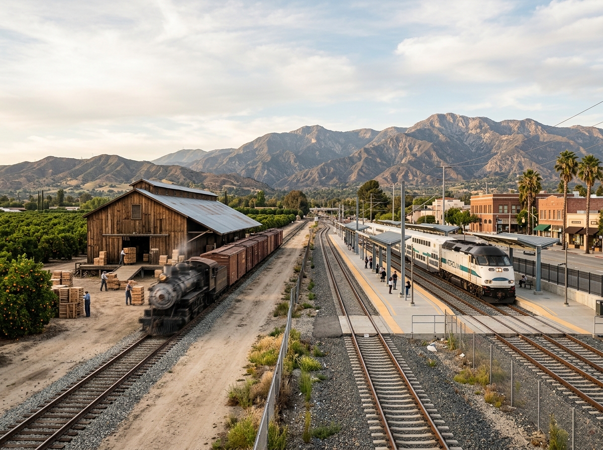
Transportation has influenced Covina almost from the beginning. Long before commuters boarded Metrolink trains on North Citrus Avenue, local residents and growers understood that connections to the rest of Southern California could determine whether a small agricultural community would thrive.
The story of Covina transportation history includes railroads built to move citrus, electric interurban travel, expanding roads, freeways, automobiles, commuter rail, buses, bicycles, and today’s renewed interest in walking and multimodal transportation. Each stage changed not only how people traveled but also where businesses developed, where homes were built, and how Downtown Covina connected with the surrounding region.
Transportation continues to shape the city today. The current Covina Metrolink Station sits at 600 N. Citrus Avenue on the San Bernardino Line, close to Downtown Covina and an area now receiving renewed attention for transit-oriented development and pedestrian connections.
Rail Service Helped Transform Early Covina
Covina developed during a period when Southern California communities were competing for residents, businesses, agricultural investment, and transportation connections. For a community whose economy increasingly depended on farming, reaching regional markets was essential.
Historical research contained in City of Covina cultural-resource documents explains that local residents made a coordinated effort during the 1890s to bring a railway into town. Southern Pacific extended service to Covina in September 1895.
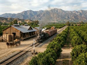
The timing was important. Citrus production was expanding rapidly during the same decade. Orange and other citrus groves covered increasing amounts of land, and growers needed reliable ways to move fruit beyond the San Gabriel Valley.
Rail access gave Covina a much stronger connection to outside markets. Packinghouses developed near the tracks so fruit could be processed, packed, and shipped efficiently. Historical research notes that at one time at least six packinghouses were located near the railroad corridor.
Citrus and Railroads Grew Together
The railroad was not simply a transportation convenience. It became part of Covina’s economic geography. Agricultural businesses benefited from being near the tracks, which helped establish a corridor where packing, processing, warehousing, and related activities could operate.
The relationship between agriculture and transportation also affected downtown. Growers, workers, merchants, and residents needed stores, banks, services, equipment, and gathering places. As the agricultural economy expanded, the commercial center around Citrus Avenue developed alongside it.
This is one reason transportation history cannot be separated from Covina’s citrus history. The success of agricultural production depended partly on the ability to move products efficiently.
Electric Transit Added Another Connection
Rail transportation was not limited to freight-oriented service. Historical documentation also notes that Pacific Electric service increased accessibility between communities such as Covina and Los Angeles.
Southern California’s electric railway network gave residents another way to move between communities before private automobiles became dominant. Such transportation links expanded the practical distance people could travel for employment, shopping, entertainment, and other activities.
The transportation network therefore helped transform Covina from a relatively isolated agricultural settlement into a community increasingly connected with the broader Los Angeles region.
Cars and Roads Reshaped the City
The twentieth century brought another major change. Automobiles became increasingly important, and the street system expanded to accommodate a growing population.
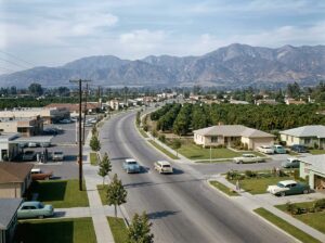
The Covina General Plan explains that the community’s street system began developing when Covina was founded in the late 1800s and was expanded significantly during the post-World War II building boom from the late 1940s through the 1960s.
This period coincided with Covina’s transition from an agricultural landscape to a suburban one. Citrus groves disappeared as housing developments, commercial centers, schools, roads, and other urban uses spread across the city.
Automobile travel influenced development differently from rail transportation. Businesses no longer needed to cluster as closely around a station or railroad corridor. Commercial activity could spread along larger roads, while residential neighborhoods extended farther from the traditional downtown center.
Covina also became surrounded by an increasingly important regional freeway network, including Interstate 10, Interstate 210, State Route 57, and nearby Interstate 605.
Metrolink Returned Passenger Rail to the Center
Although automobiles transformed Covina, the railroad corridor never disappeared. Its role eventually evolved again as regional commuter rail became part of Southern California transportation.
Today, the Covina station serves Metrolink’s San Bernardino Line. The station’s location near Citrus Avenue creates a modern connection between regional rail transportation and the traditional downtown area.
The station also demonstrates an interesting continuity in Covina’s history. The railroad corridor that once helped agricultural products move beyond the community now helps passengers travel through the region.
The City continues to manage transportation facilities around the station. Its Transportation Division provides information about commuter parking, including facilities east and west of the station. Secure bicycle facilities are also available for registered Metrolink commuters.
Downtown Is Becoming More Multimodal
Covina’s transportation story is now entering another phase. Instead of designing transportation almost entirely around automobiles, current planning increasingly considers walking, cycling, transit, and first-and-last-mile connections.
The City’s Active Streets and Multi-Modal Connectivity Plan was developed to improve safety, comfort, and connectivity for pedestrians, cyclists, and public transportation users while providing alternatives to single-occupancy vehicle travel.
The relationship between transportation and downtown development is especially important. The Covina Town Center Specific Plan identifies Citrus Avenue as the primary north-south connection through the Town Center and calls for a transportation network that better integrates pedestrians, bicyclists, transit users, and drivers.
That approach is significant historically because Downtown Covina developed at a pedestrian scale long before car-oriented planning became dominant.
A Pedestrian Bridge Is Being Studied
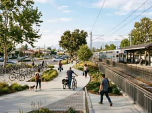
One current proposal highlights the renewed importance of the rail corridor. Covina is studying a potential pedestrian bridge near the Metrolink station that could connect the downtown side of the railroad with the station and Covina Recreation Village.
City documents describe the project as a feasibility and community-outreach effort. The bridge has not been presented as completed or guaranteed construction, and its final design and future remain subject to the planning process.
The proposal is nevertheless a useful example of how a railroad corridor created in another era continues to influence the physical organization of Covina.
Transportation Still Shapes Everyday Covina
Modern transportation in Covina extends beyond trains and private vehicles. The City provides information about bus connections, Dial-A-Ride, bicycle facilities, pedestrian improvements, and other mobility options through its transportation resources.
A downtown microtransit pilot known as Fric and Frac has also been used to connect parts of the historic downtown area with parking facilities, the Metrolink station, local bus lines, and surrounding destinations. Like other pilot programs, its operating details can change, so current City information should be checked before planning a trip.
Together, these programs show that transportation planning has moved beyond the question of how many cars a street can carry. Modern planning increasingly considers how people can reach downtown without driving for every part of a trip.
More Than a Century of Moving Covina
Transportation has repeatedly changed Covina’s landscape. The arrival of Southern Pacific service helped growers connect with outside markets. Packinghouses clustered around the rail corridor. Electric transit strengthened regional connections. Automobiles and postwar road construction encouraged suburban expansion. Metrolink later gave passenger rail a new role.
Now Covina is again reconsidering how residents move through downtown, with greater attention to walking, cycling, transit access, and connections around the station.
The technologies are different, but the underlying relationship remains familiar. Transportation influences where people live, where businesses locate, how land is used, and how easily Covina connects with neighboring communities.
That makes transportation one of the most important threads running through the city’s history. Readers can continue exploring these connections through the Transportation and Growth category or return to Covina History for more stories about the places and changes that shaped the community.